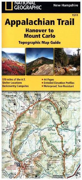
Waterproof, tear-resistant topographic map guide. The Hanover to Mount Carlo Topographic Map Guide makes a perfect traveling companion when traversing the New Hampshire section of the Appalachian Trail. Each A.T. Topographic Map Guide includes detailed topographic maps at a detail of 1 inch equals 1 mile. Each page is centered on the A.T. and overlaps with the adjacent pages so there is little chance of getting lost. Along the bottom of each page is a trail profile that shows the distance between shelters, camping areas, and trail access points.
ISBN: 978-1-59775-648-8


